Navigation is easy these days, as we’ve entire complex computerized mapping systems and radio-based positioning systems to find ourselves anywhere on Earth. It might seem simple to use GPS these days, even trivial, but billions of dollars are what it took to make that happen.
Back in the day, navigation was simpler, and cheaper, using a handheld device and natural objects in space instead of artificial satellites with atomic clocks. Let’s learn about the sextant, and how it did its job.
Navigational Tool
For most of human history, getting lost at sea was a very real way to die. Coastlines can be followed and landmarks recognised, but once the land drops below the horizon, a crew has little more than dead reckoning to go on. You can estimate of speed, heading and elapsed time, but errors pile up the longer you go without a concrete reference as to where you are. When land is out of sight, the sky can offer that very reference point, but you have to be able to measure it accurately enough.
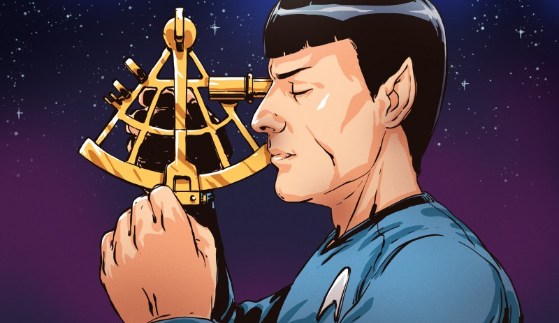
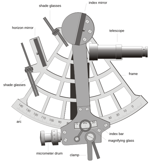
That’s where the sextant comes in. It’s a deceptively simple instrument that is, paradoxically, somewhat difficult to understand at a glance. It’s little more than a frame, a pair of mirrors and a small telescope, which lets a navigator measure the angle between a celestial body and the horizon to a tiny fraction of a degree. Take that measurement at the right moment, work through a few tables referencing the detected angle and the time of measurement, and you’ve got your position on the globe.…